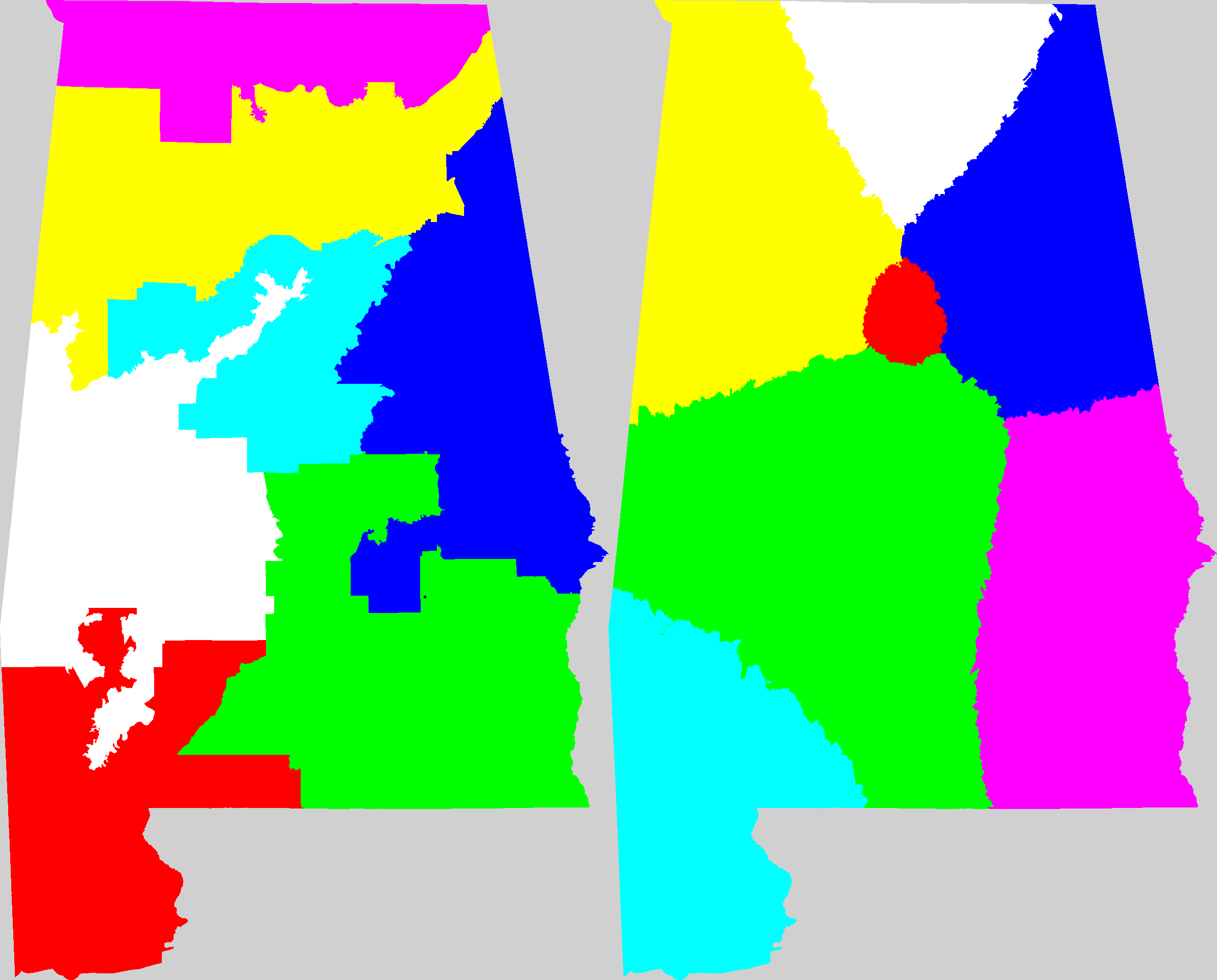
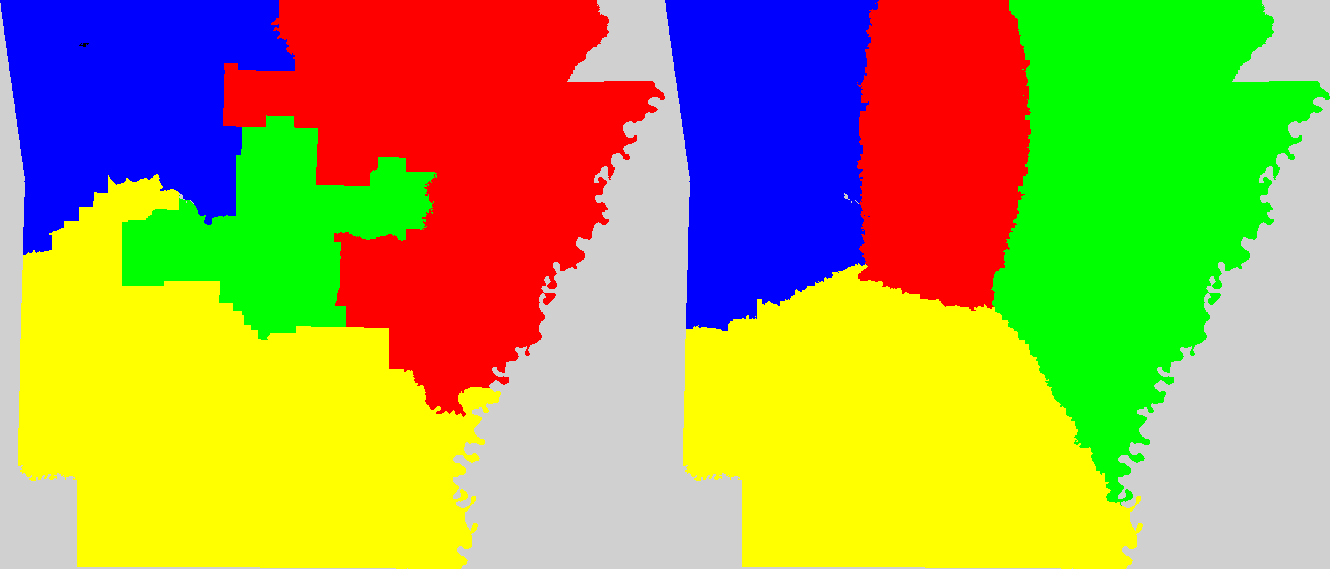
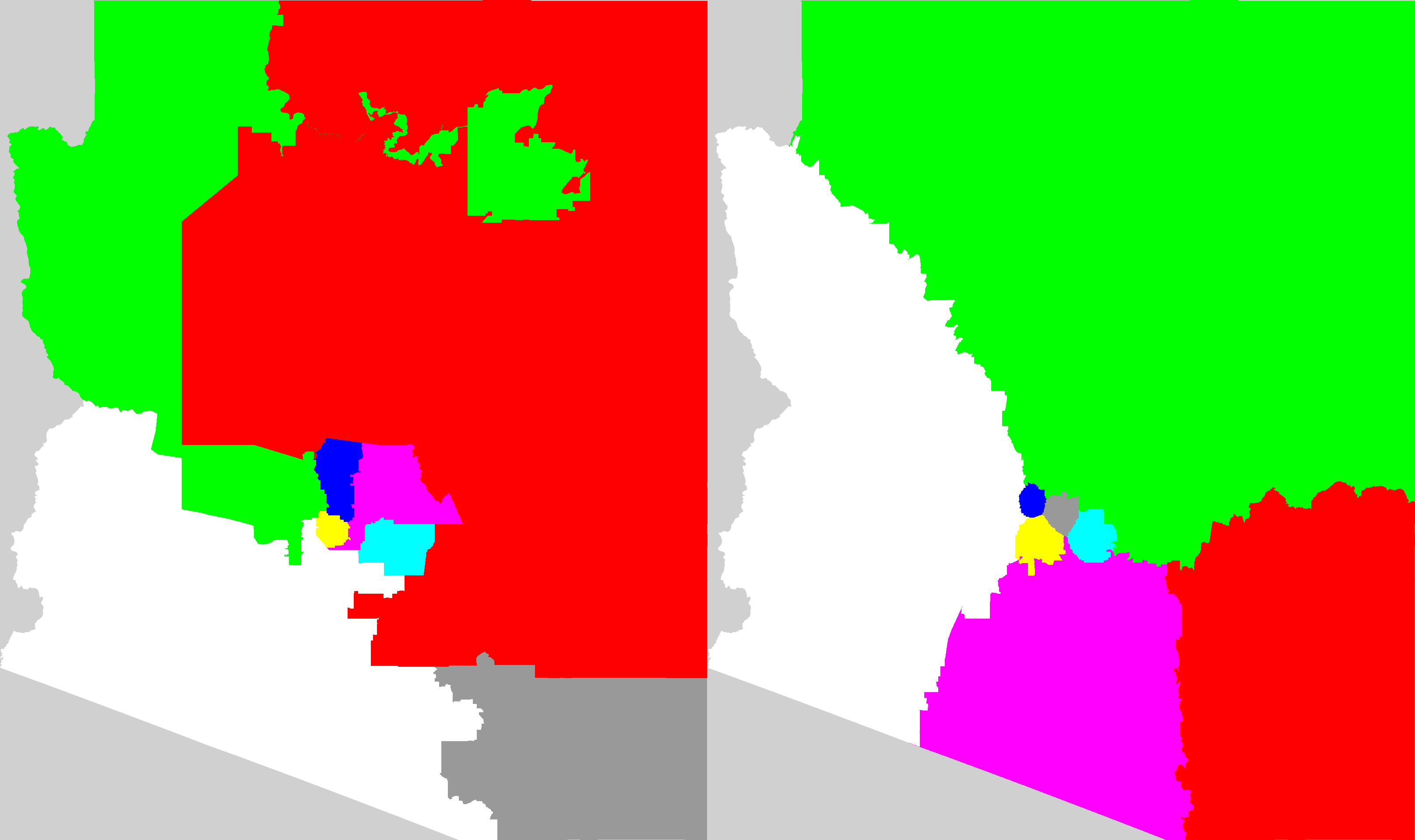
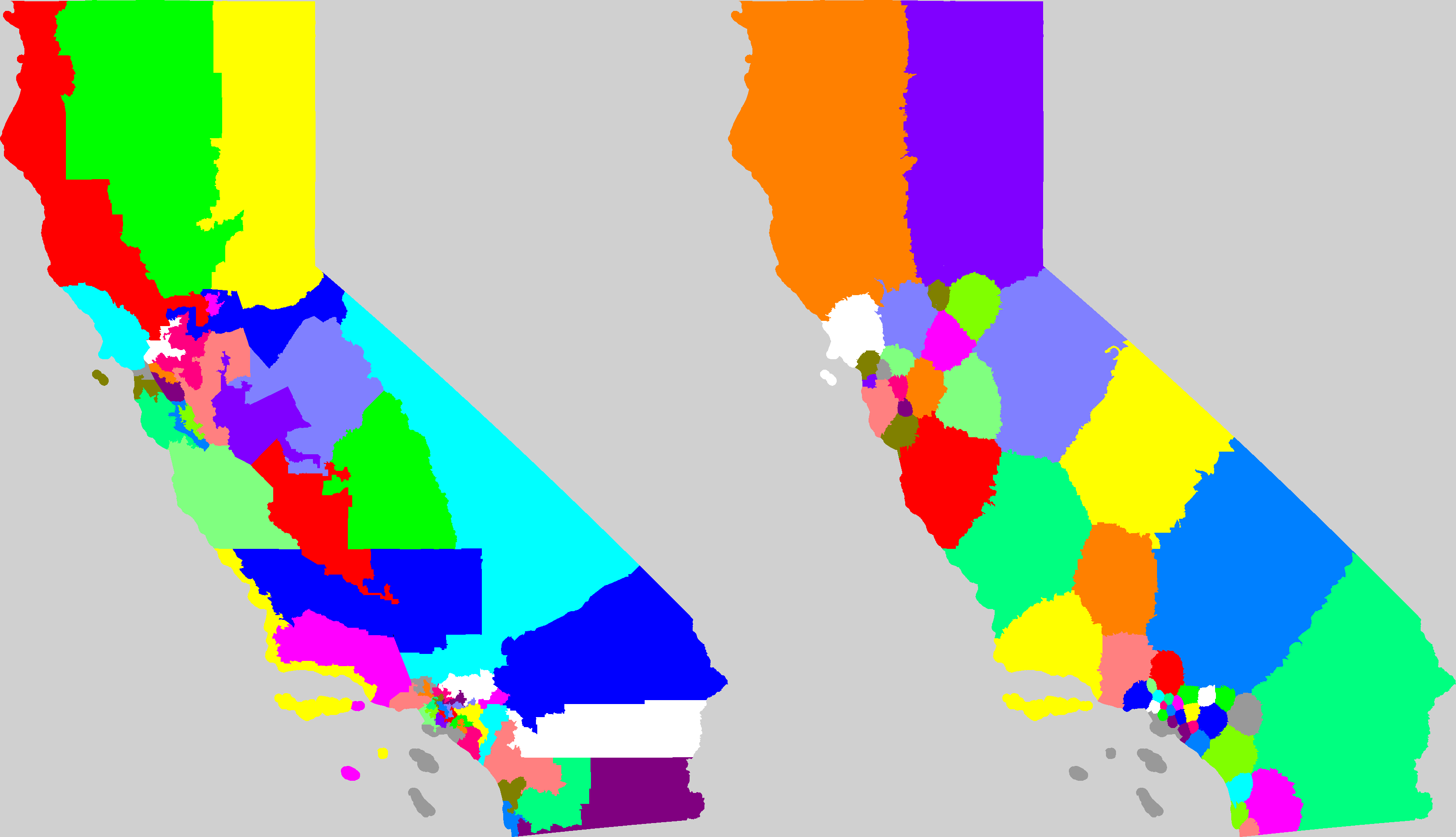
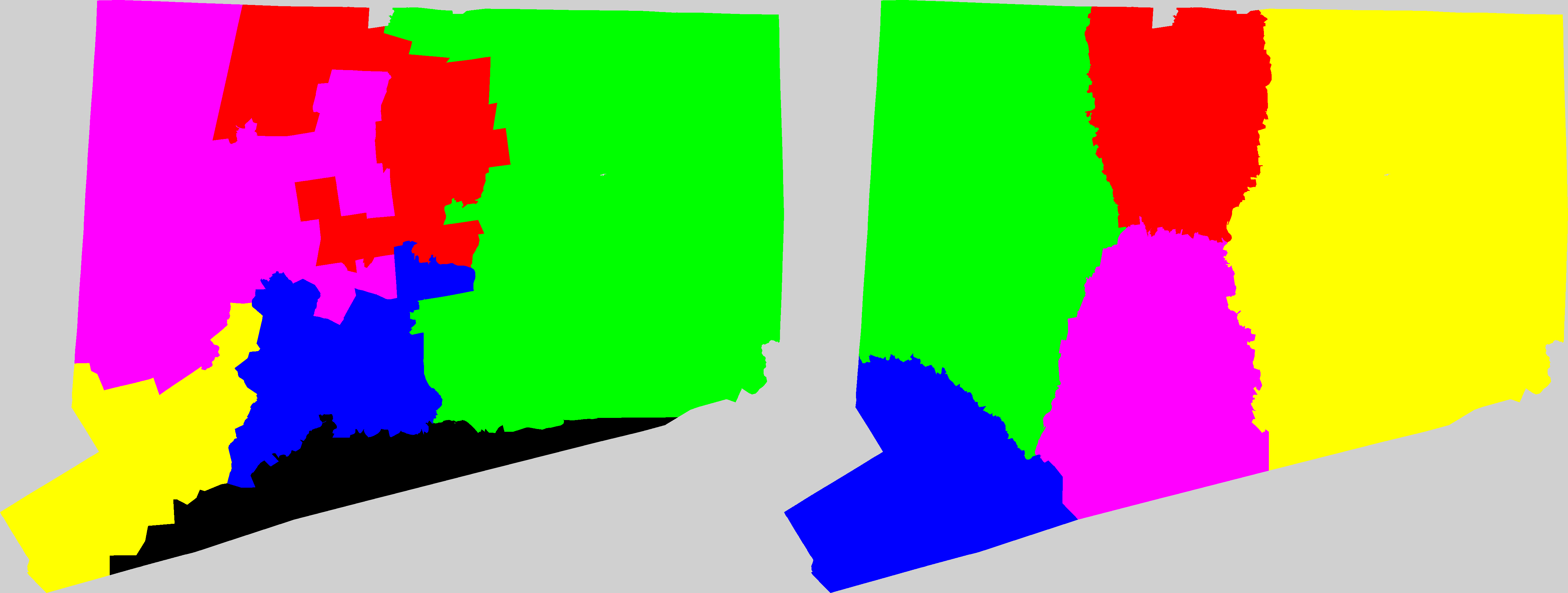
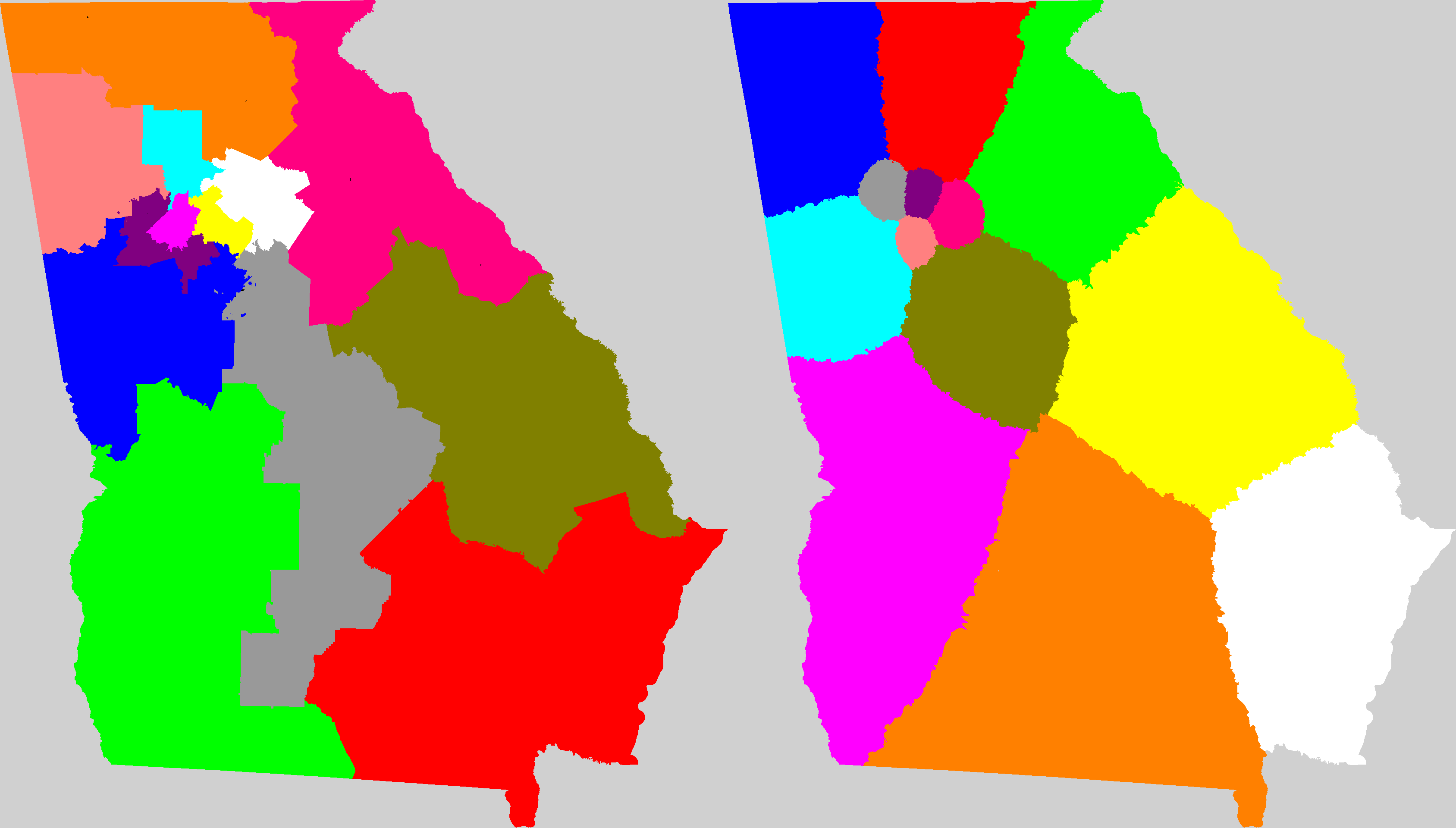
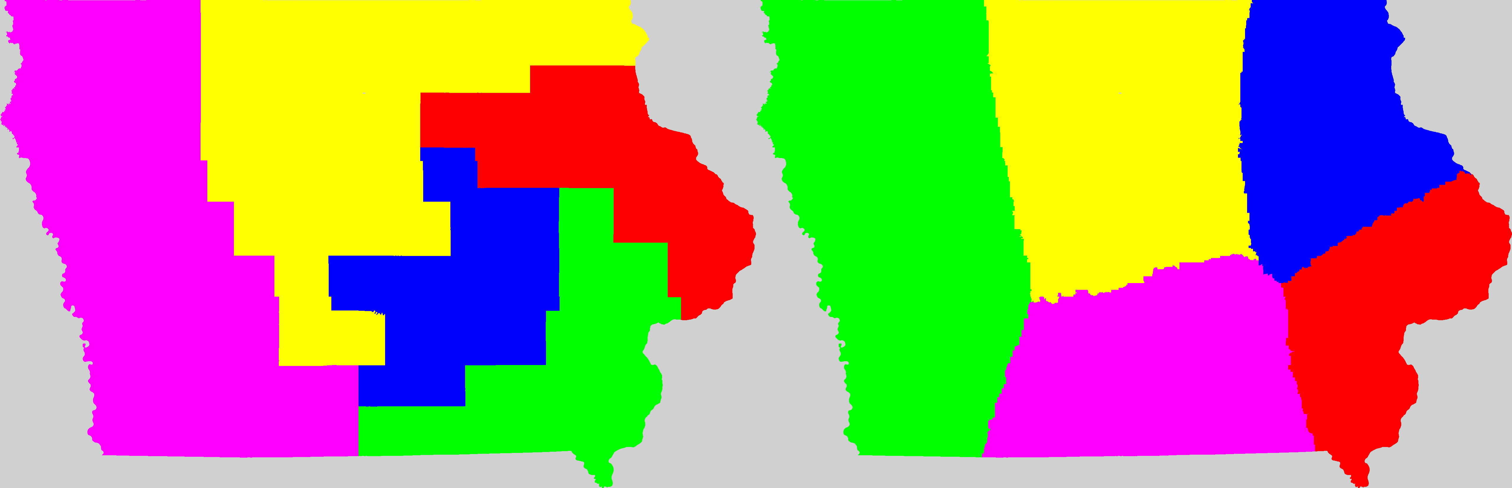
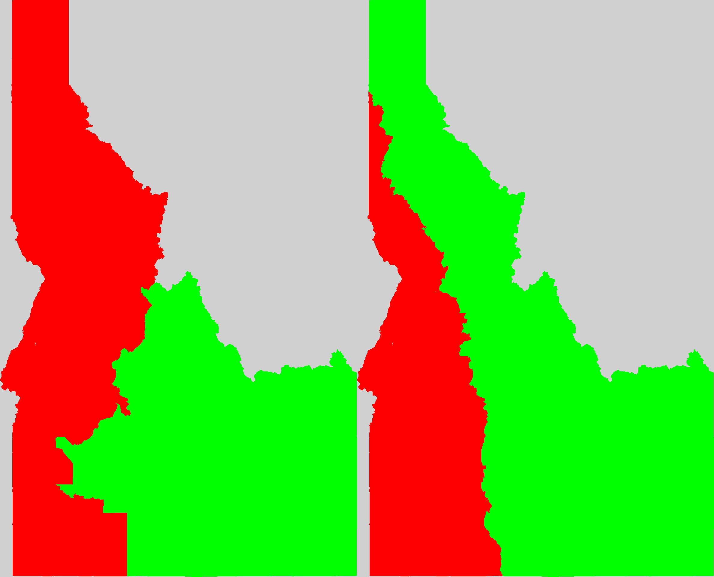
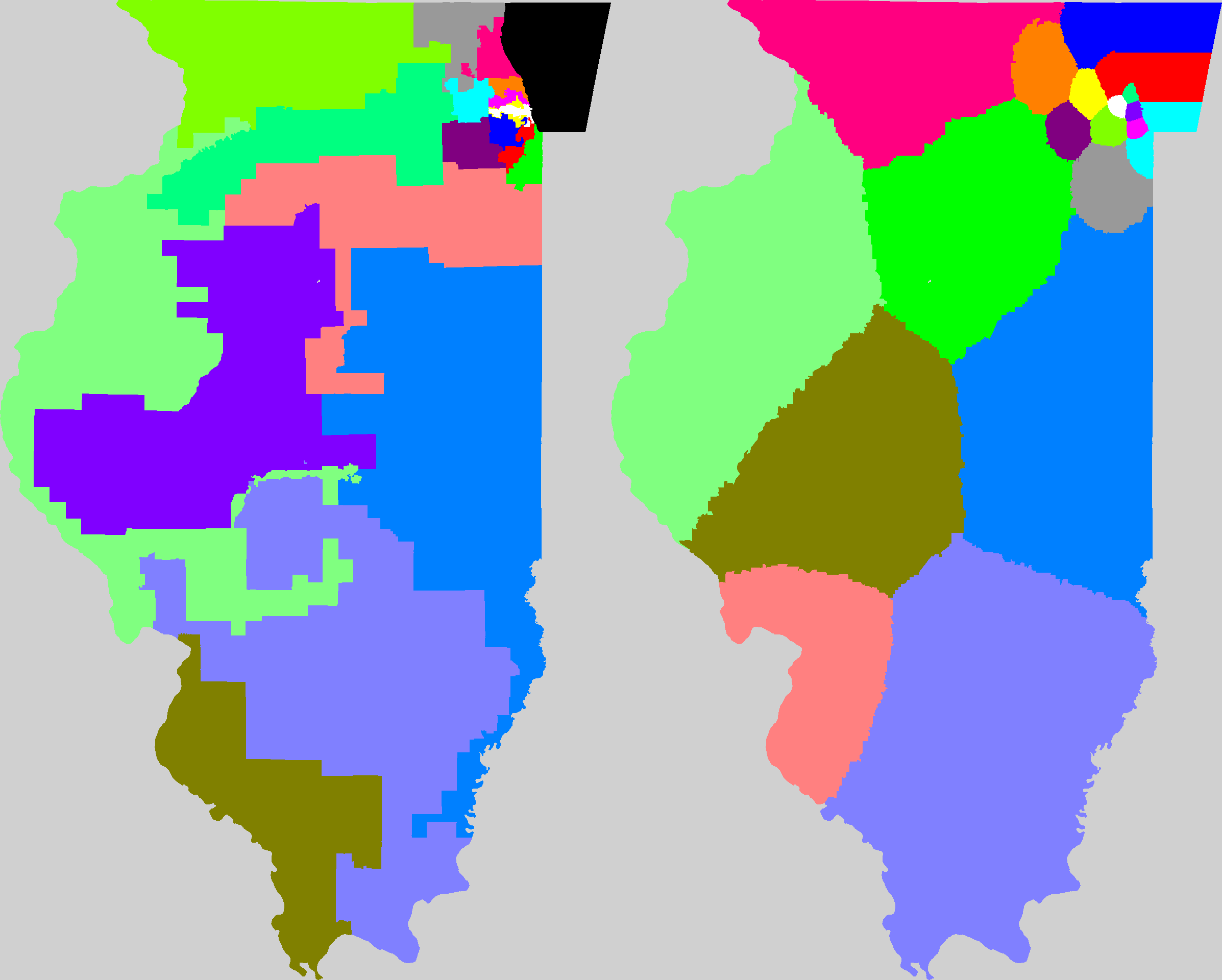
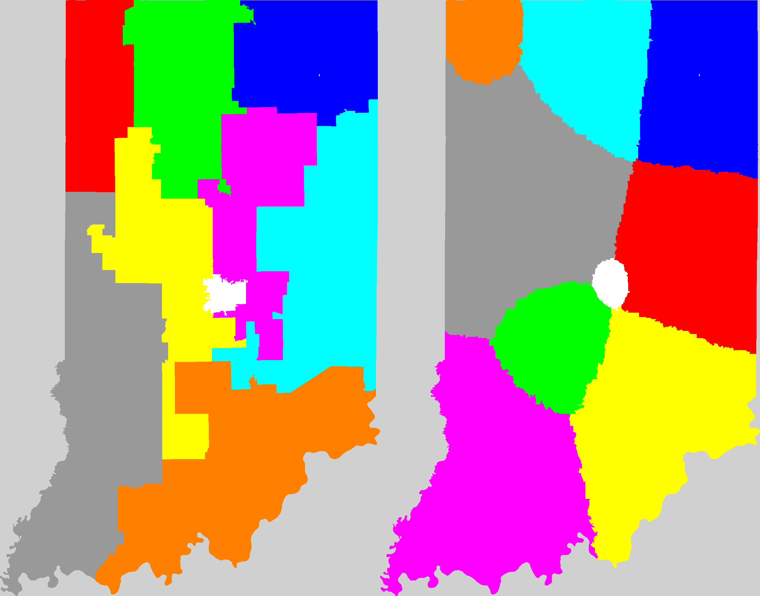
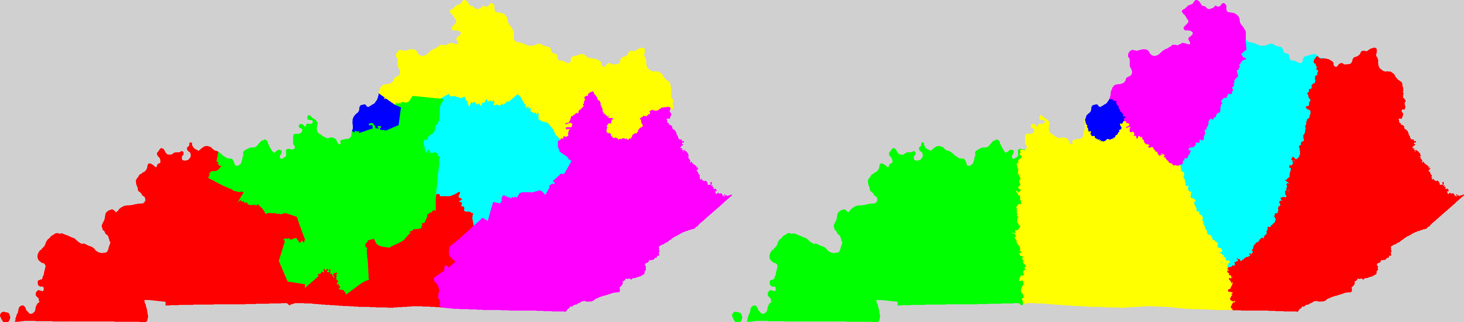
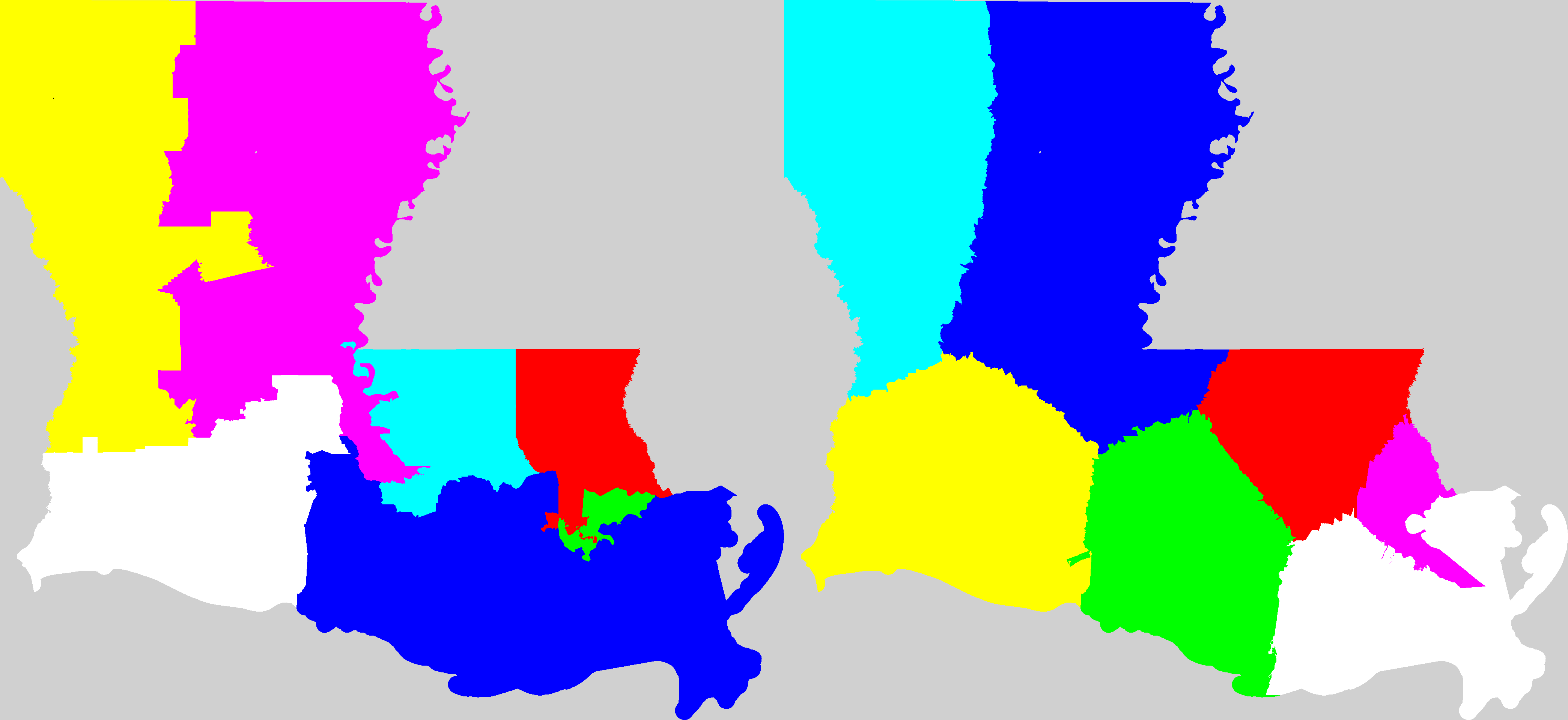
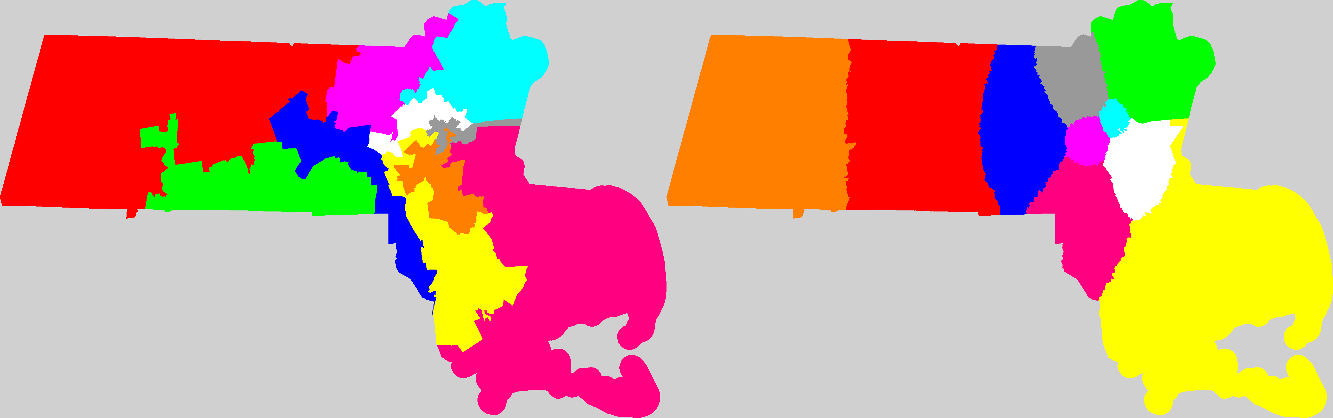
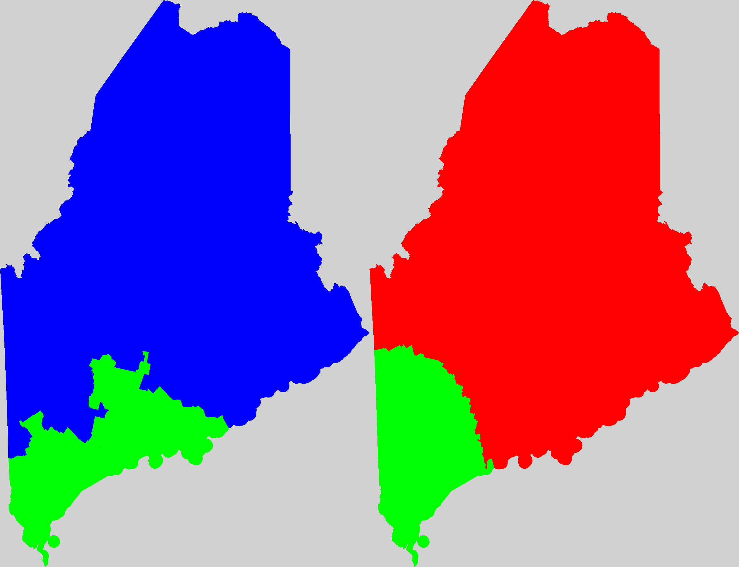
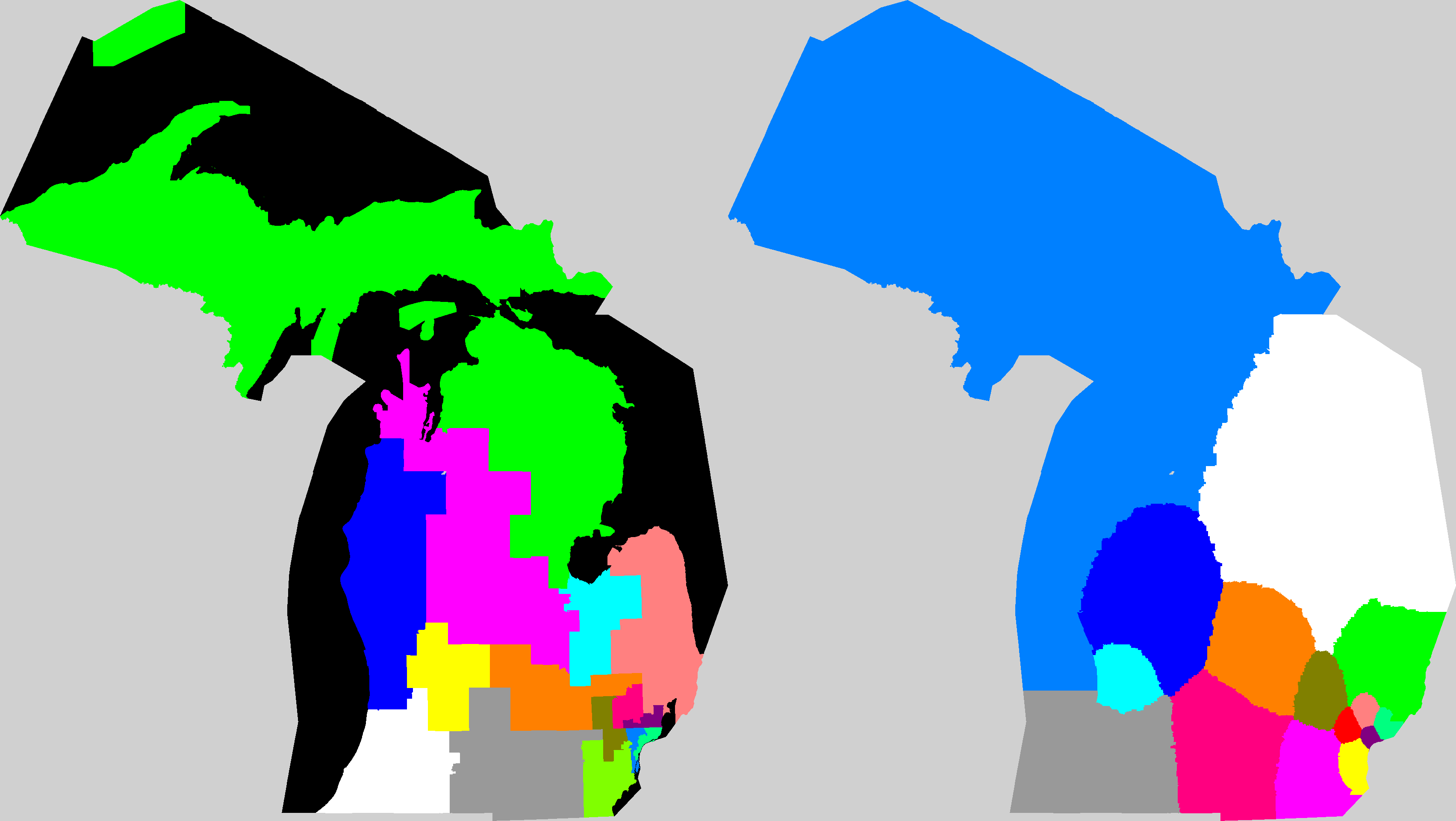
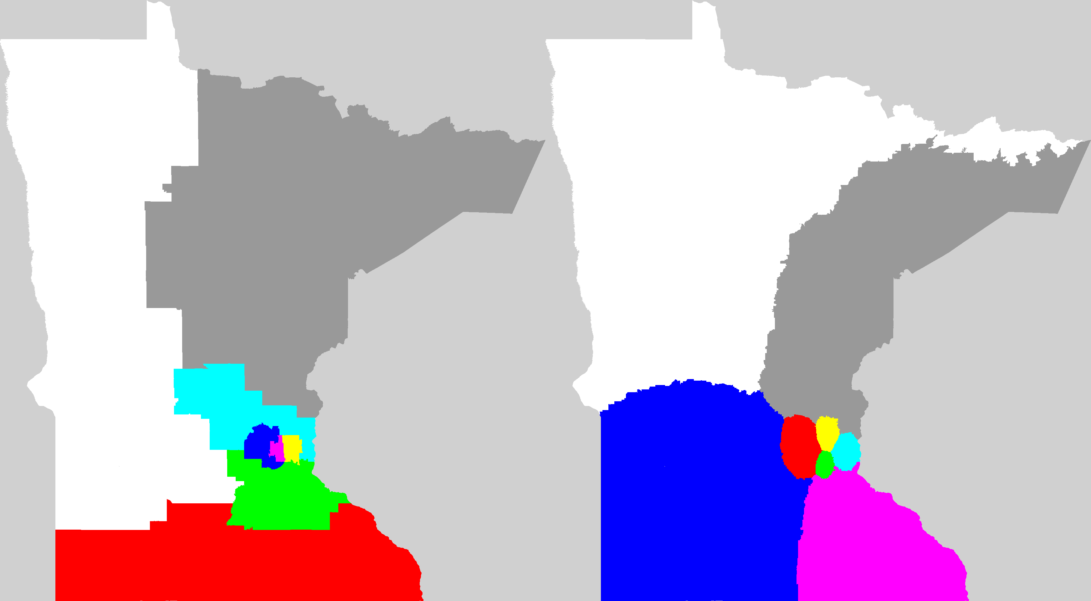
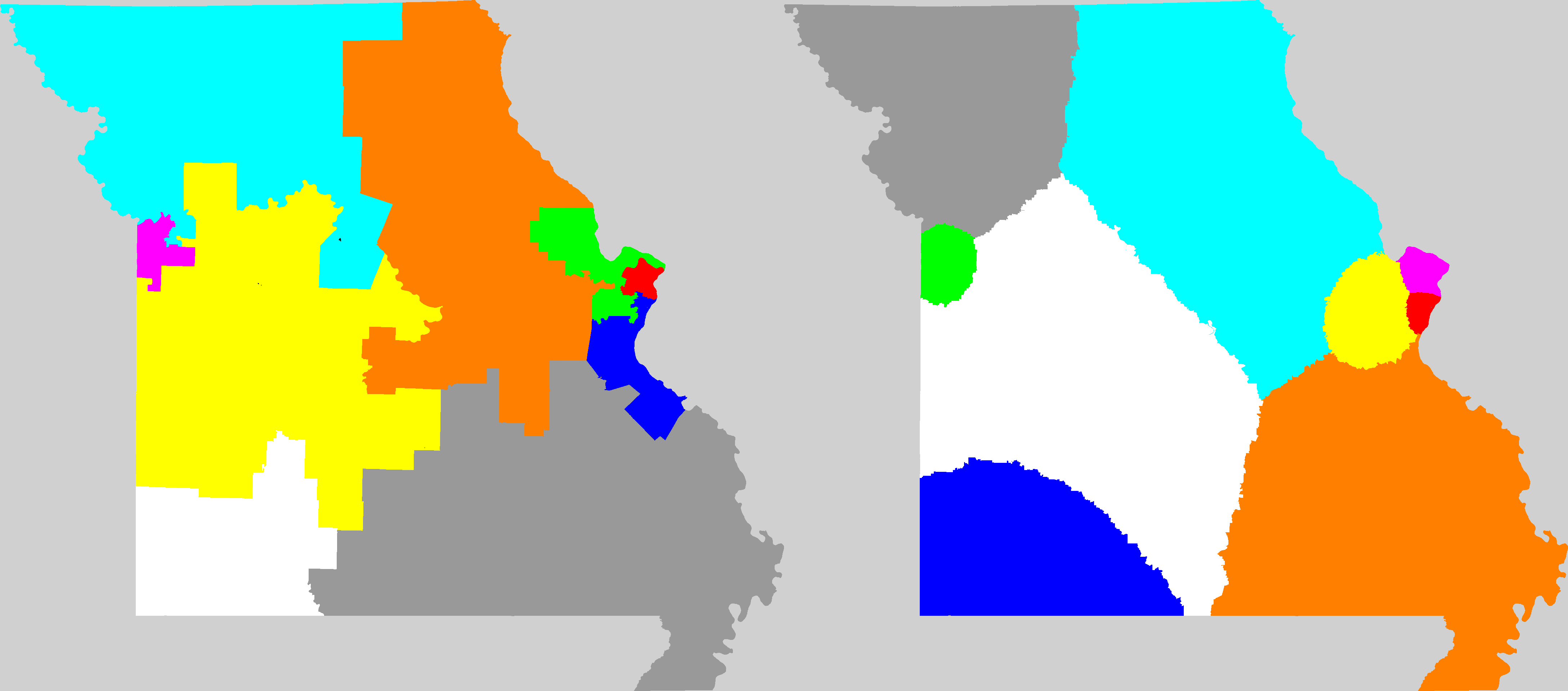
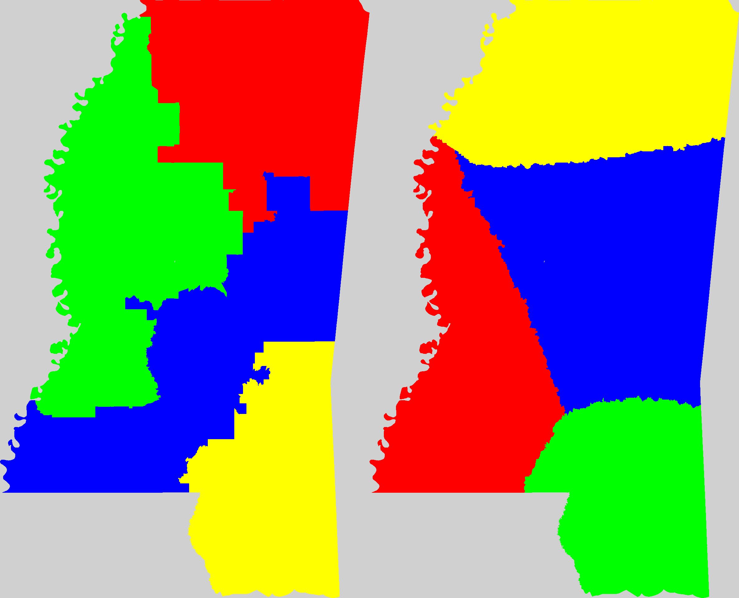
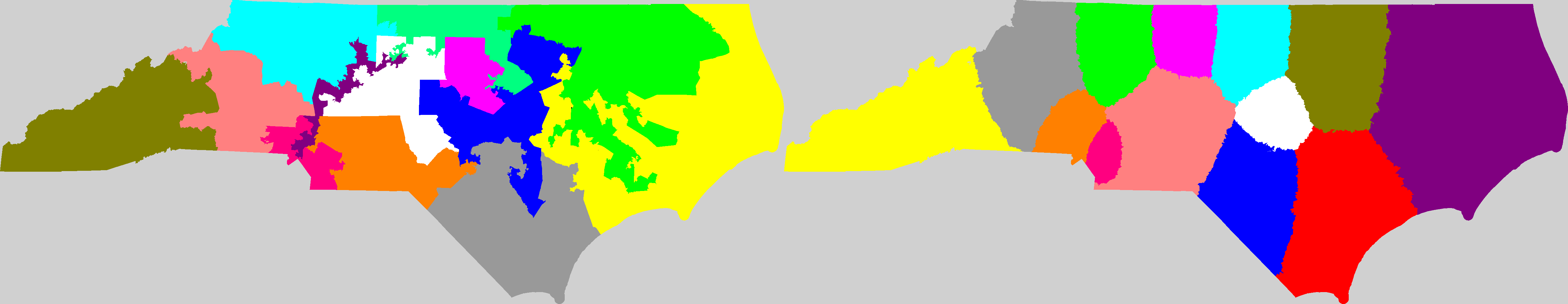
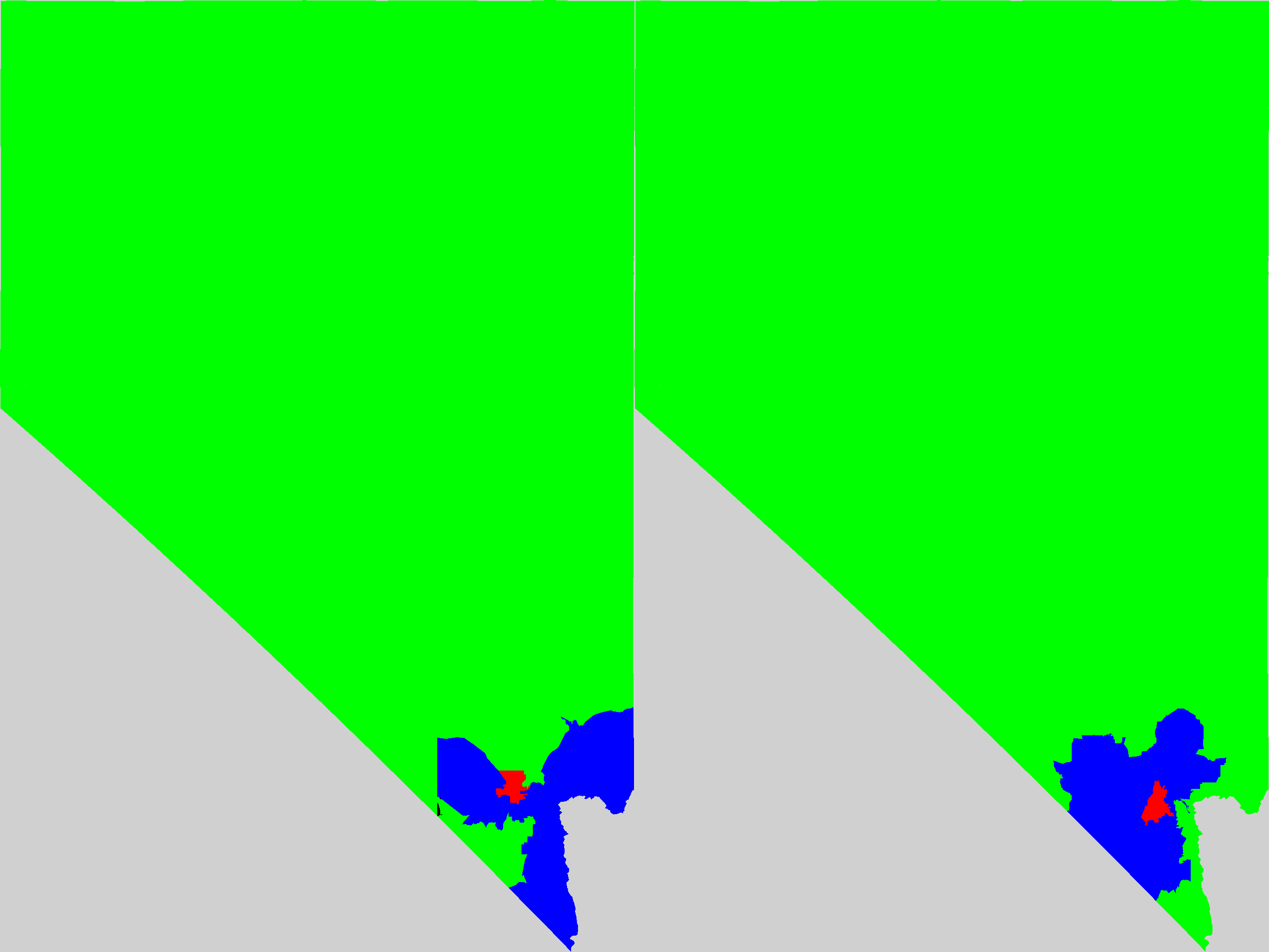
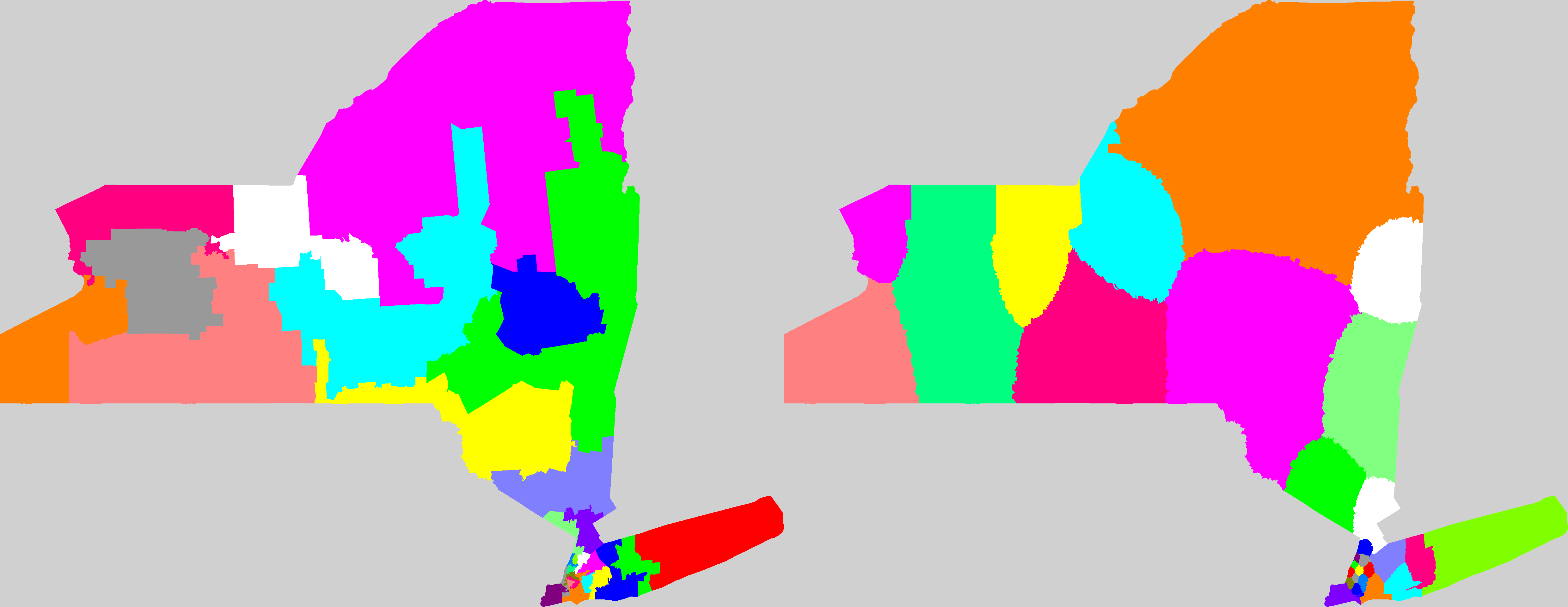
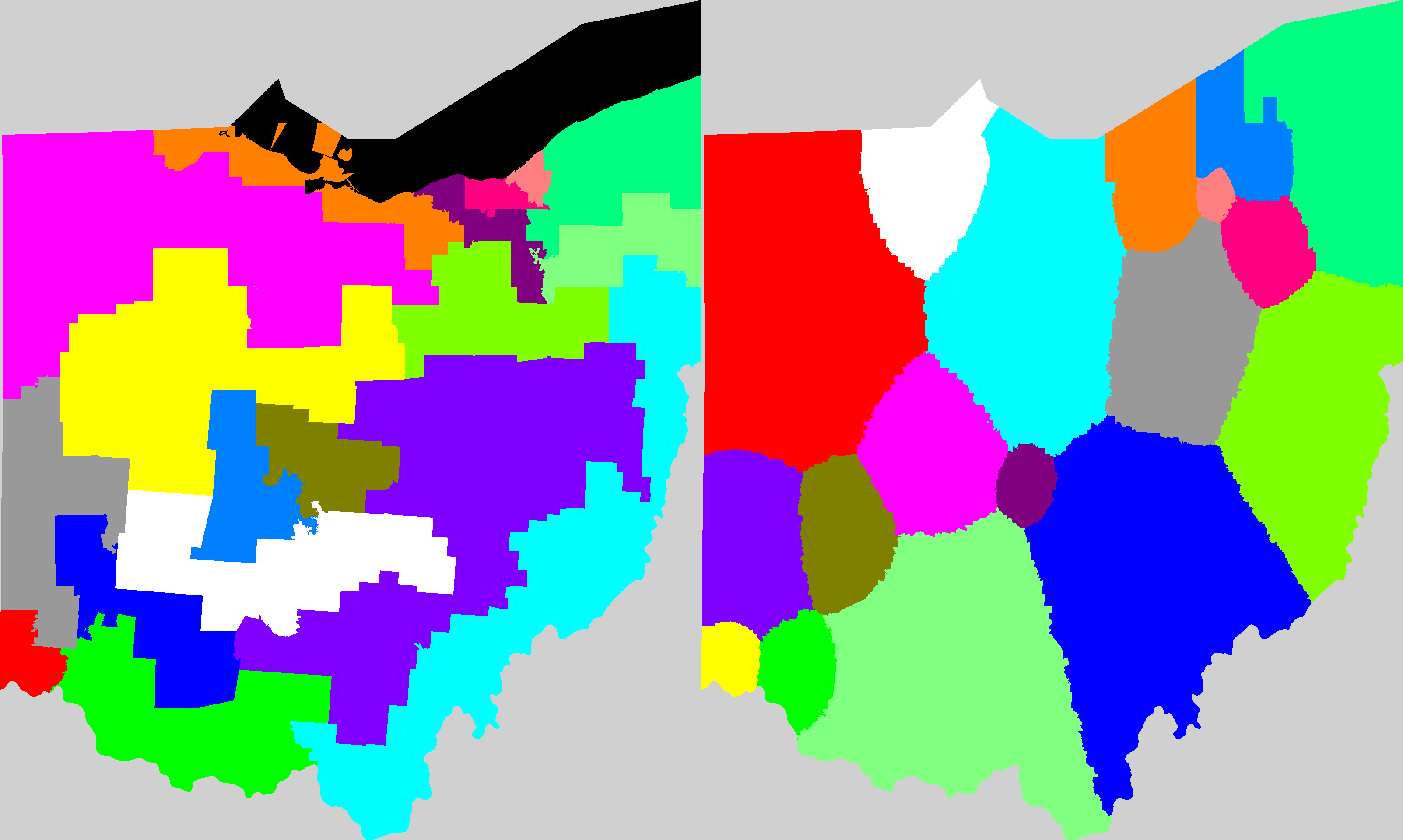
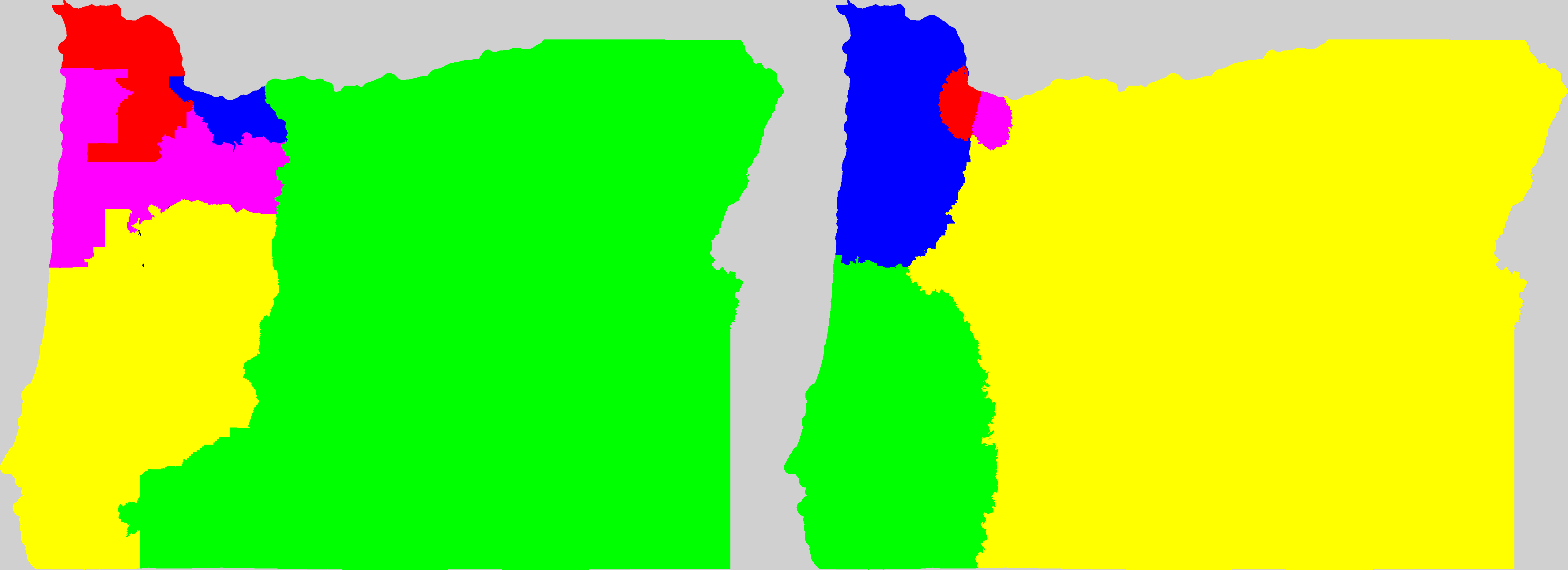
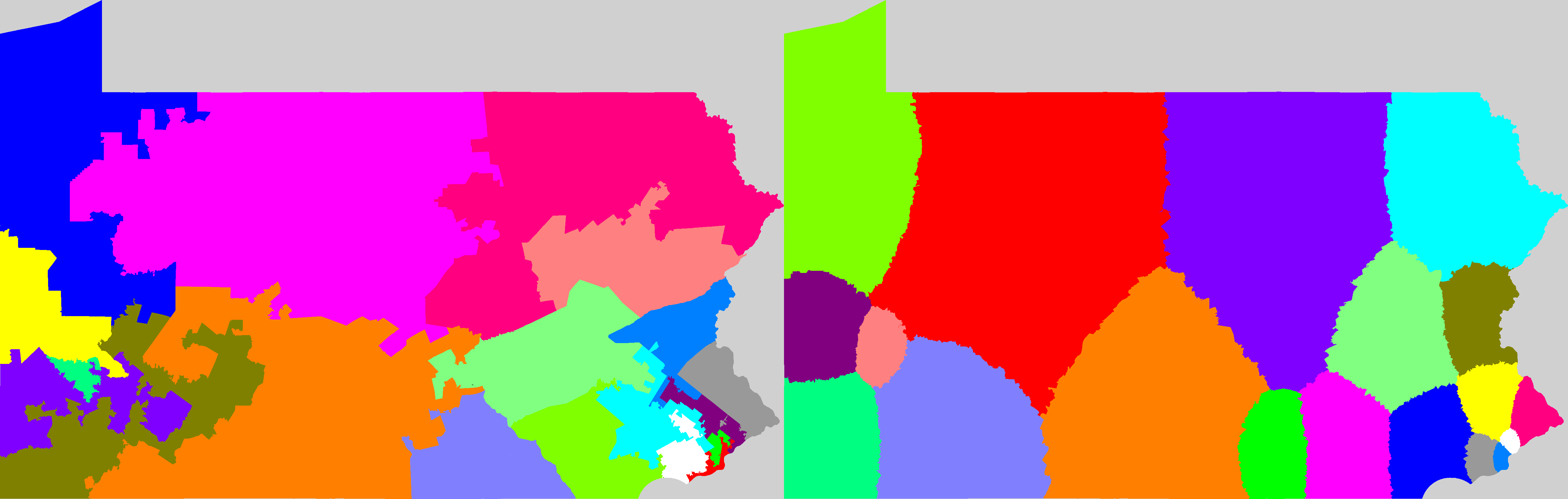
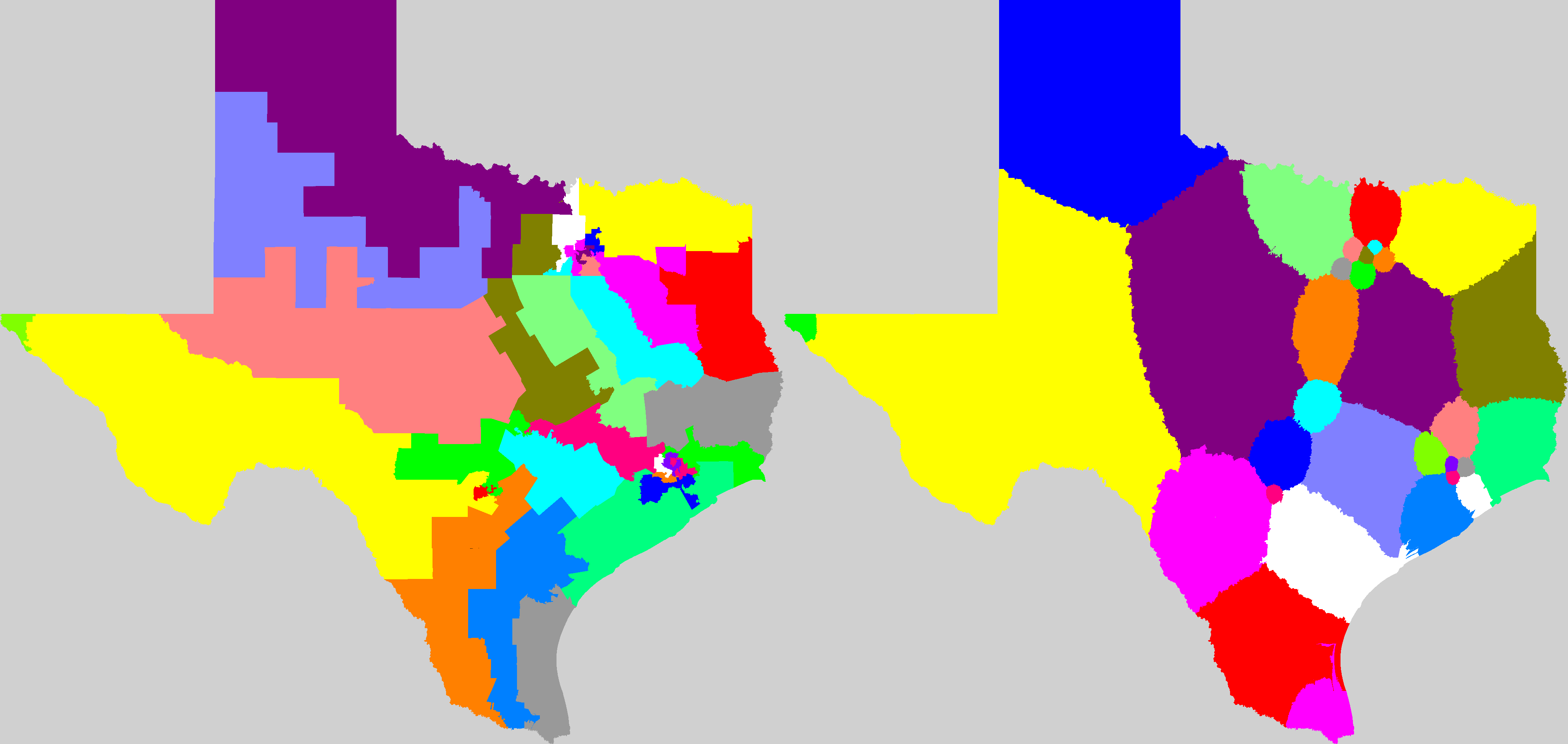
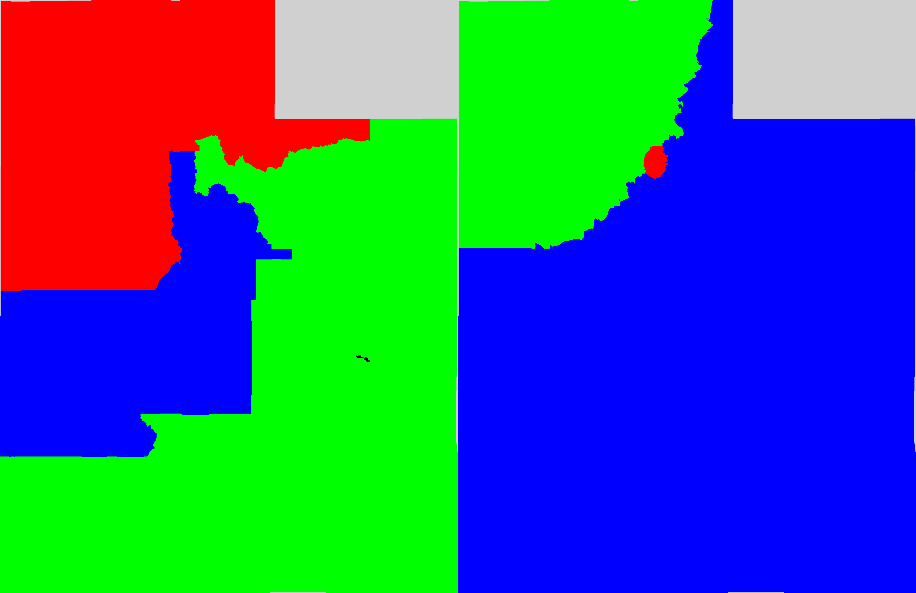
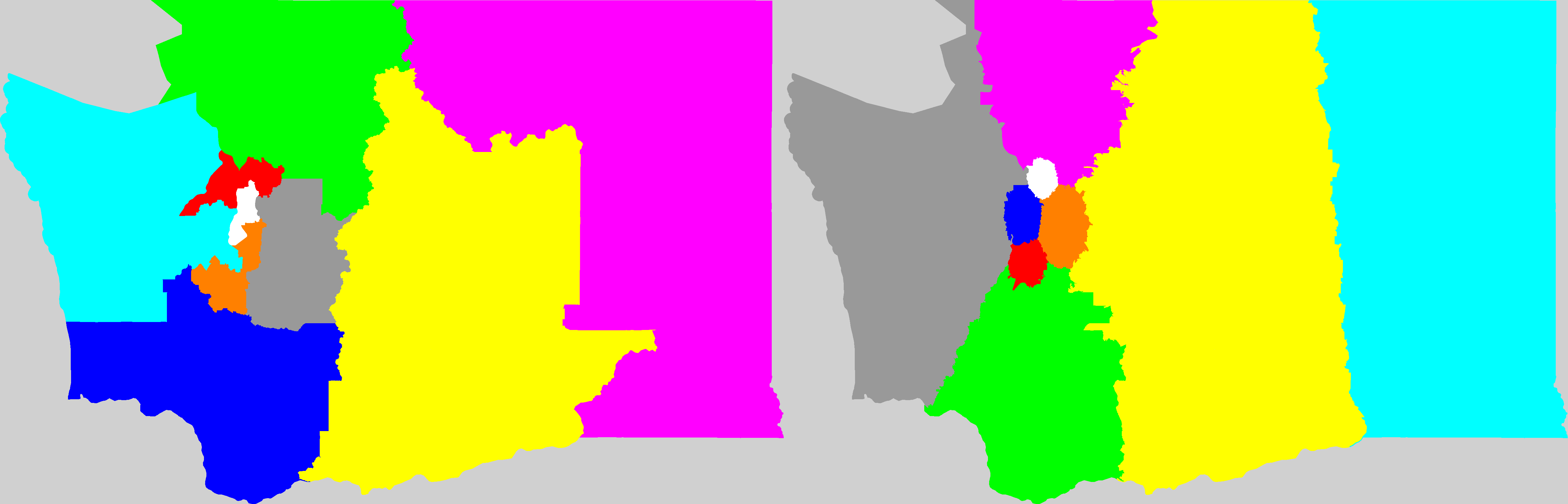
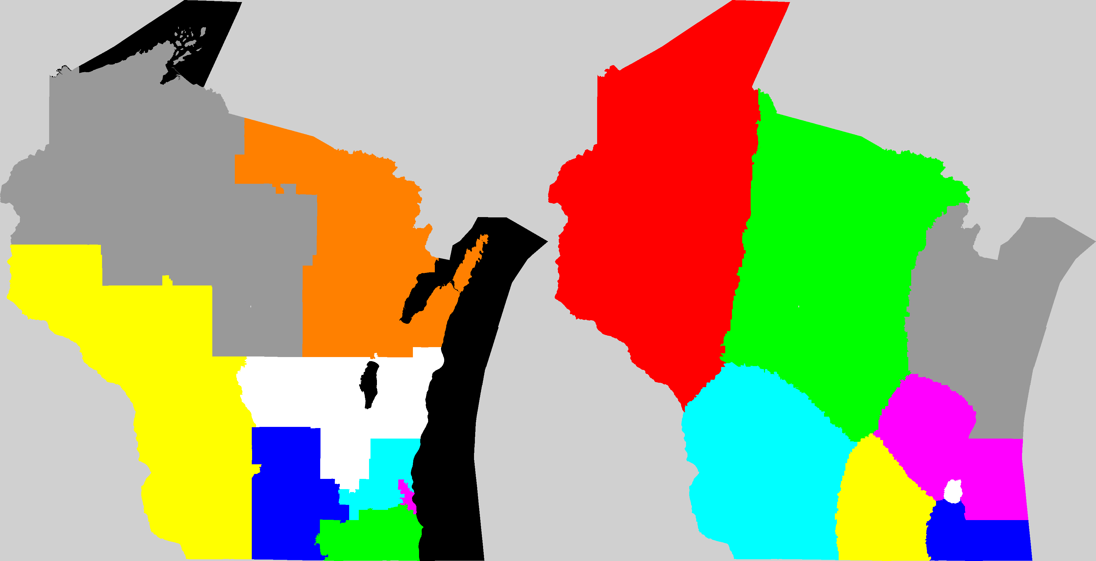
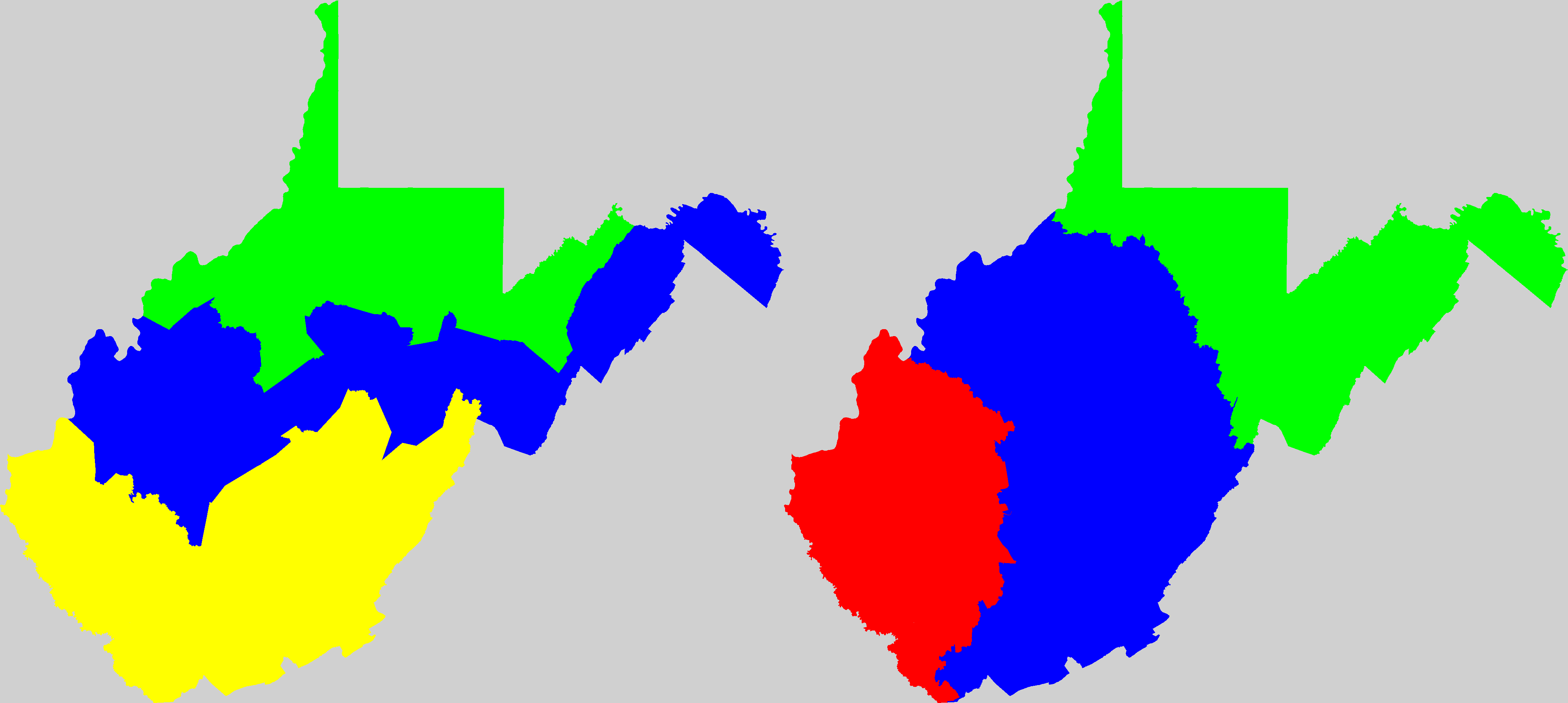
Click on state symbol to see map-pair; left map is the official districting, right map is by Olson's computer program.
AL
AR
AZ
CA
CO
CT
FL
GA
HI
IA
ID
IL
IN
KS
KY
LA
MA
MD
ME
MI
MN
MO
MS
MT
NC
ND
NE
NH
NJ
NM
NV
NY
OH
OK
OR
PA
RI
SC
SD
TN
TX
UT
VA
VT
WA
WI
WV
Splitlining districts from year-2000 census